Learning Outcomes
Stage 1Junior and senior infants |
Stage 2First and second classes |
Stage 3Third and fourth classes |
Stage 4Fifth and sixth classes |
| Through appropriately playful and engaging learning experiences, children should be able to | |||
|
develop a sense of spatial awareness in relation to their bodies and the immediate environment. describe the spatial features of objects and theirmrelative position in space. |
use spatial knowledge for the purposes of orientation and navigation. visualise and model location using symbolic co-ordinates. |
describe, interpret and record directional instructions and location. compare and classify angles, recognising them as a property of a shape and as a description of a turn. |
describe location on the full co-ordinate plane. interpret scale maps and create simple scale drawings. |
|
Everyday language can be used to describe the relative position and direction of objects and people (to other objects and people). Position can be viewed from various vantage points. Non-standard units can be useful to give more accurate directions for movement. Simple maps and/ or drawings can be used to track the movement of objects. |
More formal language can help us describe position and direction more precisely, e.g. the language of the compass points. The location of objects can be portrayed on a map, with/without a grid system. A grid system of horizontal and vertical lines, labelled with letters and numbers, can be laid over a map and used to identify locations. When drawing maps of locations, it is necessary to think about the relative size and position of key features. |
Directions and locations can be described with increasing precision, using more formal measures of distance and direction (60 km east) and simple grid reference co-ordinates (A6). There are different ways to think about angles, including: • angles as the corners of 2-D shapes There are 360 degrees in a full turn. The extent of a turn is measured in degrees. Half of a full turn (180 degrees) and quarter of a full turn (90 degrees) are used to classify angles. Approximate distances can be calculated by considering the distance represented by each cell of the grid. |
An exact location on a map can be described and found using co-ordinates. Distances on maps and some plans can be determined using a scale. The relationship between angle measures and compass co-ordinates can be used to plot direction accurately. The co-ordinate plane has a horizontal x-axis and a vertical y-axis. Co-ordinates identify the location of a point. They consist of pairs of numbers, which indicates the distance along the x-axis and the y-axis respectively. |
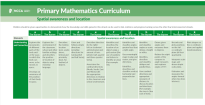
Click on the image to access the progression continuum for the strand unit of 'Spatial awareness and location'
-
Directory of Support Materials
Directory of Support Materials: Spatial awareness and location
-
Suggestions for children's learning
Support material
-
-
Suggestions for key language
Support material
-
Suggestions for the learning environment
Support material
-
Suggestions for learning at home
Support material